DJI Enterprise
Zenmuse L2 (NA) SP
Zenmuse L2 (NA) SP
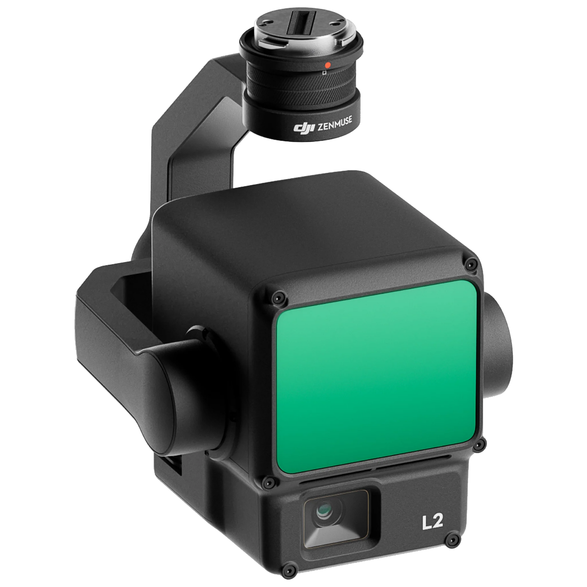
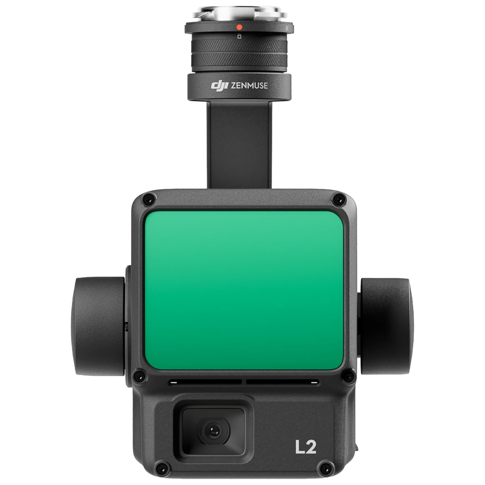
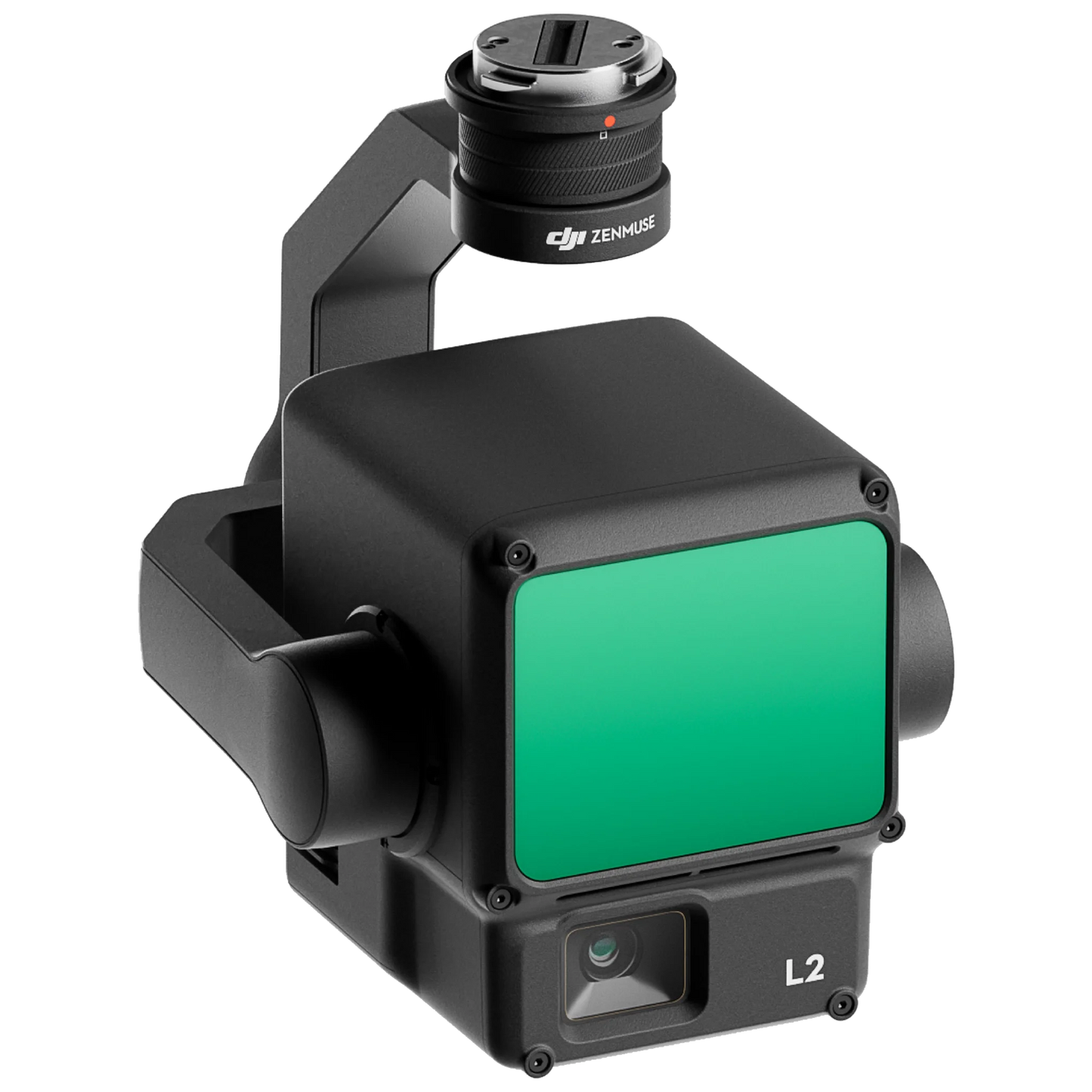
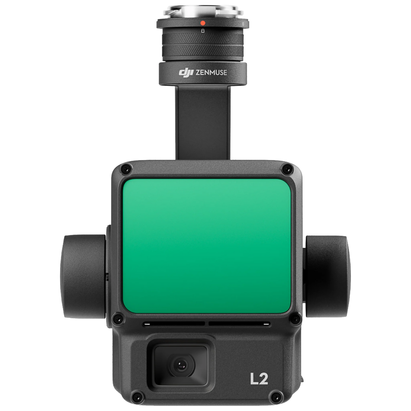
Zenmuse L2 is a high-precision aerial LiDAR system that empowers drones with more accurate and efficient 3D data collection. With 4cm vertical accuracy, 5cm horizontal accuracy, and the ability to cover an area of 2.5 km2 during a single flight, this IP54-rated system allows users to effortlessly handle a wide range of operational scenarios.
Features
Compatibility:
- Matrice 300 RTK (requires DJI RC Plus)
- Matrice 350 RTK
High Precision
By combining GNSS and a self-developed high-accuracy IMU system, this solution achieves 4cm vertical accuracy and 5cm horizontal accuracy.
Exceptional Efficiency
It’s ready for work as soon as it’s powered on and can collect point cloud data from a 2.5km² area in a single flight.
30% Detection Range Increase
L2 reaches a detection range of up to 250 m (10% reflectivity, 100 klx) and 450 m (50% reflectivity, 0 klx). [3] The standard operational altitude now extends up to 120 meters.
Superior Penetration
With a spot size of 4×12 cm at 100m, only a fifth of that of L1, L2 not only detects smaller objects and delivers more detailed models, but can generate DEM.
Point Cloud LiveView
Supports three display modes - RGB, point cloud, and point cloud/RGB side-by-side display. Quickly preview the recorded 3D point cloud model [4] to get real-time progress monitoring.
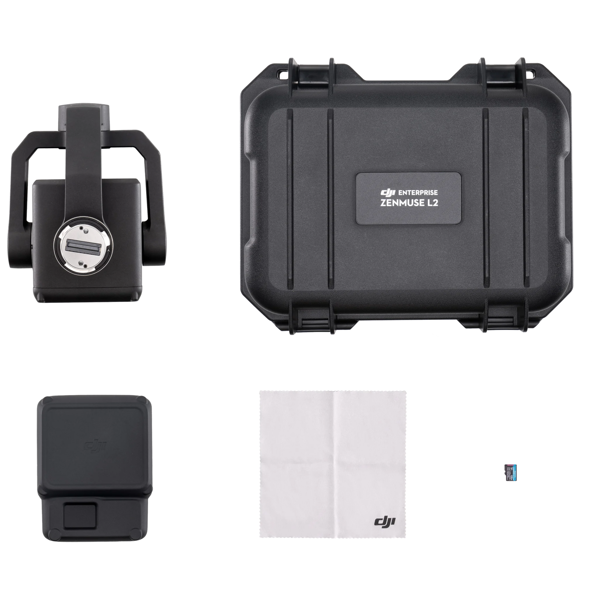
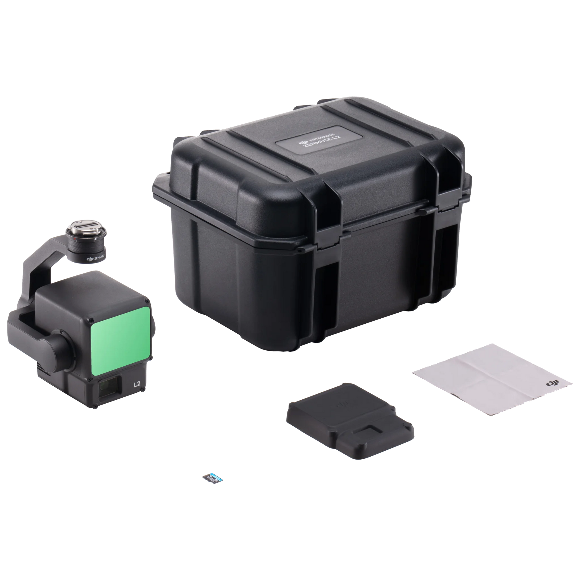
What's in the box?
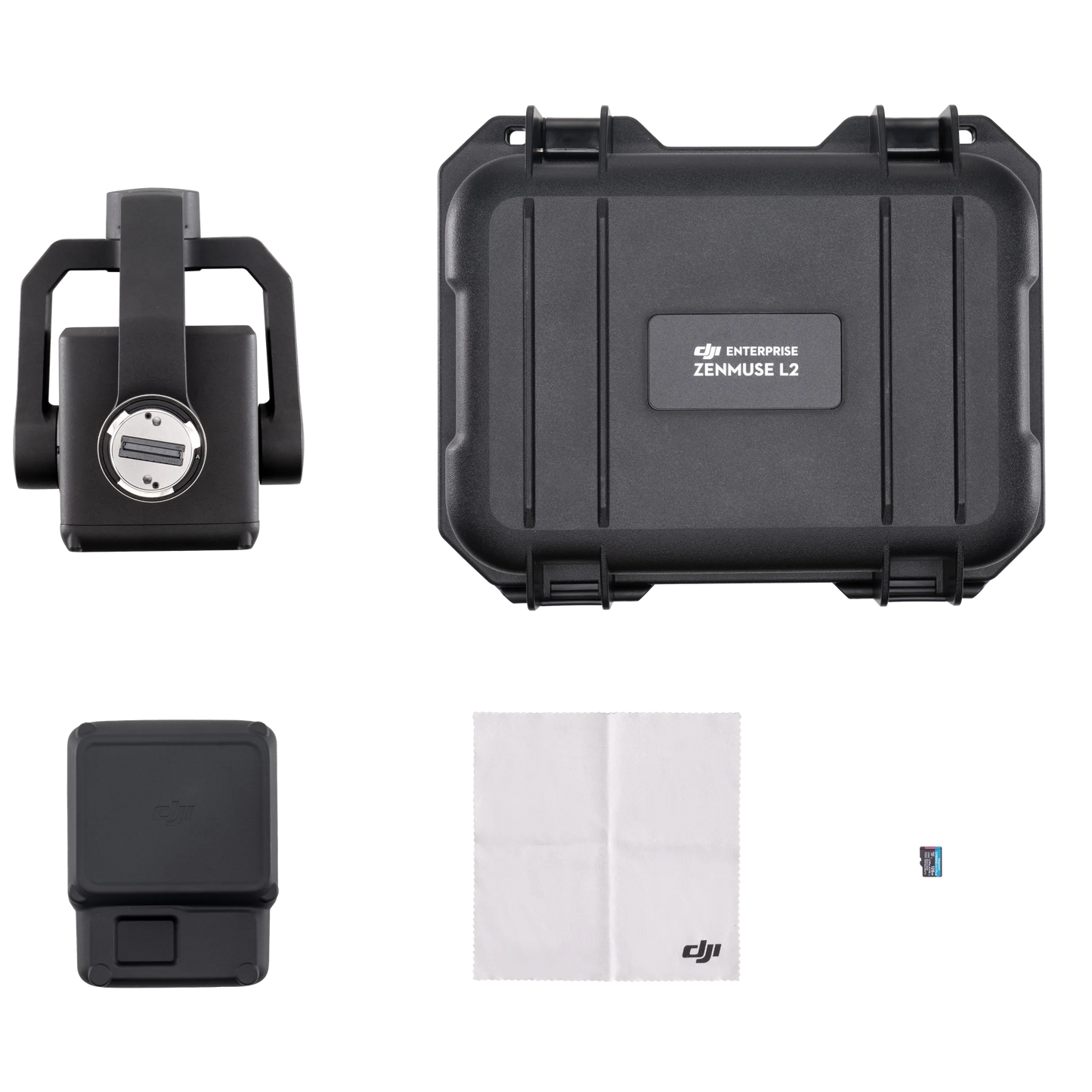
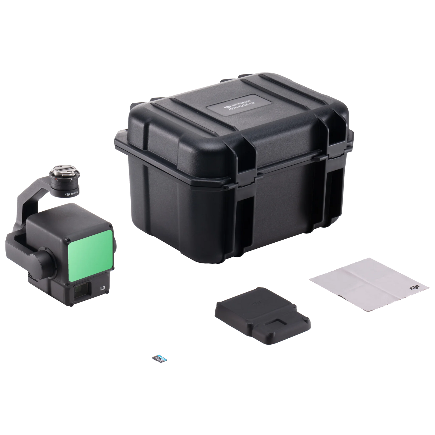
- 1x Zenmuse L2
- 1x microSD Card (128GB)
- 1x Lens Cap
- 1x Lens Cleaning Cloth
- 1x Storage Case
Specs
- Dimensions: 155×128×176 mm (L×W×H)
- Weight: 905±5 g
- Power: 28 W (typical) / 58 W (max.)
- IP Rating: IP54
- Storage Temperature: -20° to 60° C (-4° to 140° F)
- General Operating Temperature: -20° to 50° C (-4° to 122° F)
- Detection Range: 450m @50% reflectivity, 0 klx / 250m @10% reflectivity, 100 klx
- Point Cloud Rate: Single return: max. 240,000 pts/s / Multiple returns: max. 1,200,000 pts/s
- System Accuracy: Horizontal: 5 cm @ 150 m / Vertical: 4 cm @ 150 m Real-Time Point Cloud Coloring Coding: Reflectivity, Height, Distance, RGB
LiDAR
- Ranging Accuracy (RMS 1σ): 2 cm @ 150 m
- Maximum Returns Supported: 5
- Scanning Modes: Non-repetitive scanning pattern, Repetitive scanning pattern
- FOV: Repetitive scanning pattern: Horizontal 70°, Vertical 3° / Non-repetitive scanning pattern: Horizontal 70°, Vertical 75°
- Minimum Detection Range: 3 m
- Laser Beam Divergence: Horizontal 0.2 mrad, Vertical 0.6 mrad
RGB Mapping Camera
- Sensor: 4/3 CMOS, Effective Pixels: 20 MP
- Lens: FOV: 84° / Format Equivalent: 24 mm / Aperture: f/2.8-f/11 / Focus Points: 1 m to ∞ (with autofocus)
- Shutter Speed: Mechanical Shutter: 2-1/2000 s / Electronic Shutter: 2-1/8000 s
- Photo Size: 5280×3956 (4:3)
- Still Photography Modes: Single shot: 20 MP / Timed: 20 MP / JPEG
- Timed Interval: 0.7/1/2/3/5/7/10/15/20/30/60 s / RAW/JPEG + RAW
- Timed Interval: 2/3/5/7/10/15/20/30/60 s
- Video Codec and Resolution: H.264, H.265 / 4K: 3840×2160 @30fps / FHD: 1920×1080 @30fps
Please note, prices are susceptible to variations. The sales team at RMUS Canada can be contacted through email sales@rmus.ca or you can call us (416) 303-3575.
Share
Why RMUS Canada
-
- Gold Tier DJI Enterprise Dealer
- DJI Certified Maintenance and Service Provider
- DJI Dock Certified
- RMUS Hub online training center
-
- Certified Training instructors - former Public Safety RPAS operators
- Emergency Equipment Loaner Program
- Trade in credits available
RMUS Canada Resources
-
Sourcewell
RMUS has an existing contract with Sourcewell, a government agency that helps to make the buying process easier and faster.
-
Sourcewell combines the purchasing power of multiple agencies into one cooperative group that helps to streamline the procurement process for governmental agencies such as Public Safety and Educational agencies.
-
Consult our sales team to learn more about Sourcewell and how to use it to its fullest power.
For more information visit: Sourcewell

