GreenValley International
LiAir X3-H
LiAir X3-H
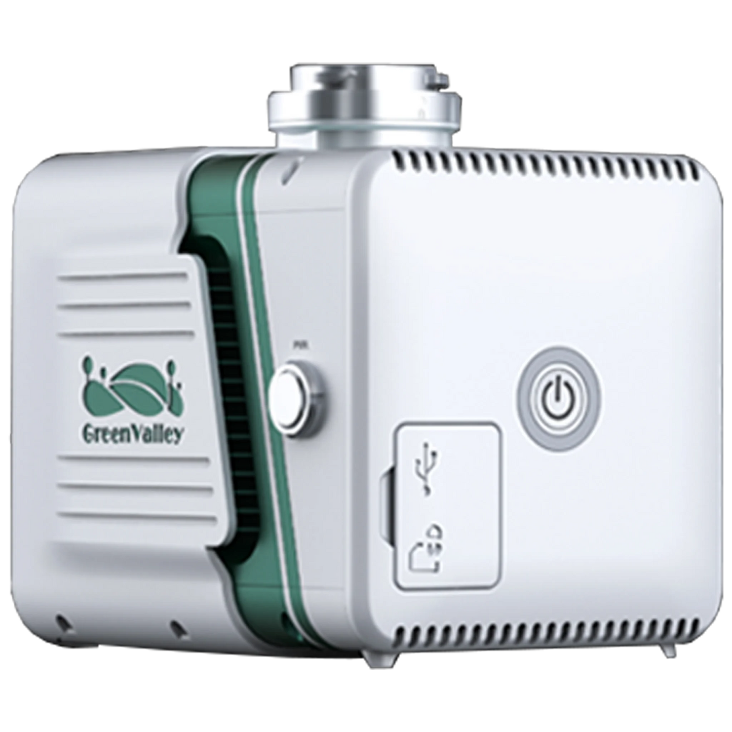
LiAir X3-H is the newest compact, high-performance unit in the LiAir series by GVI. It adopts a new integrated design style and integrates lightweight LiDAR, self-developed inertial navigation, a high-resolution mapping camera and on-board computer systems providing new levels of efficiency.
Handheld accessories for this model are sold separately.
Features
Lightweight & Simple
Integrated simple yet rugged design, allowing for protection against various environmental elements. The operation interface is straightforward, allowing one-touch operation for maximum efficiency.
New Camera, providing ultra-clear picture quality
Built-in new high-resolution custom mapping camera, the image resolution is upgraded from 24 Megapixels to 26 Megapixels, allowing for high-quality true-color point clouds as well as orthophotos for Photogrammetry.
GreenValley Flight Assistance Software makes field work easy
GreenValley software supports real-time point cloud display, parameter adjustment, and status monitoring. It can be directly installed on the DJI Enterprise M300/M350 RTK remote controller and used in conjunction with the X3-H to help operators control the site conditions in real time.
What's in the box?
- LiAir X3-H+ Camera+ LiGeoreference
Specs
System Specifications
- Detection Range: 190 m @ 10% reflectivity / 450 m @ 80% reflectivity
- System Accuracy (Vertical): 5 cm @ 70m
- Dimensions: 136×106×129 mm
- Typical Flight Speed: 5-10 m/s Weight: 1.25 kg
- Voltage: 12~24 V, 0.9 A @ 24 VDC
- Power Consumption: 22 W
- Internal Storage: 256 GB TF Card
- Operating Temperature: -20~50 °C
- Storage Temperature: -30~60 °C
LiDAR Sensor Technical Parameters
- Wavelength: 905 nm
- Laser Class: Class1
- Range Accuracy: 2 cm (1σ @ 20m)\ FOV: 70.4° (Horizontal)×4.5° (Vertical)
- Point Rate: 720,000 points/s (Triple return)
- Returns: 3
- Scan Method: Repetitive Scan
- Inertial Navigation System
- GNSS: GPS, GLONASS, Galileo, BD
- Azimuth Accuracy: 0.038°
- Attitude Accuracy: 0.008°
- IMU Data Frequency: 200 Hz
Camera Image
- Sensor: APS-C
- Pixels: 26 Megapixels
- Focal Length: 16 mm / 24 mm
- Image Size: 6252×4168
Software
- Post-Processing: LiDAR360(Optional)
- Pre-Processing: LiGeoreference
- Flight Planning and Control Software: GreenValley
Please note, prices are susceptible to variations. The sales team at RMUS Canada can be contacted through email sales@rmus.ca or you can call us (416) 303-3575.
Share


Why RMUS Canada
-
- Gold Tier DJI Enterprise Dealer
- DJI Certified Maintenance and Service Provider
- DJI Dock Certified
- RMUS Hub online training center
-
- Certified Training instructors - former Public Safety RPAS operators
- Emergency Equipment Loaner Program
- Trade in credits available
RMUS Canada Resources
-
Sourcewell
RMUS has an existing contract with Sourcewell, a government agency that helps to make the buying process easier and faster.
-
Sourcewell combines the purchasing power of multiple agencies into one cooperative group that helps to streamline the procurement process for governmental agencies such as Public Safety and Educational agencies.
-
Consult our sales team to learn more about Sourcewell and how to use it to its fullest power.
For more information visit: Sourcewell


