GreenValley International
LiAir 250 Pro
LiAir 250 Pro
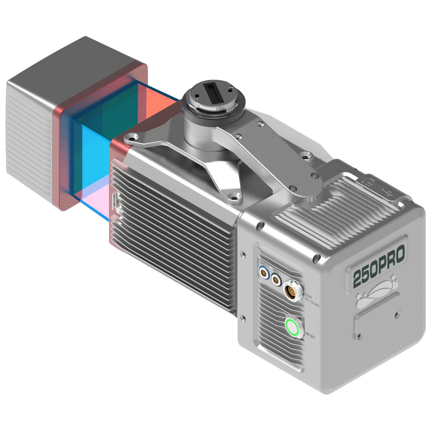
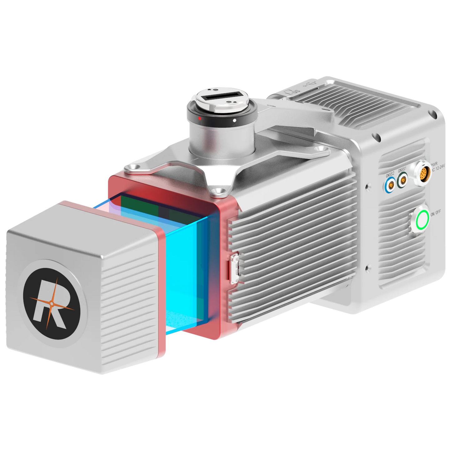
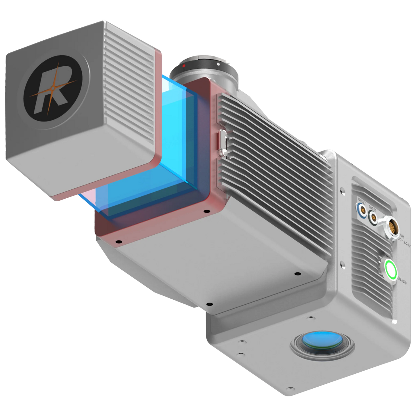
LiAir 250 Pro lightweight UAV LiDAR system is a lightweight professional equipment developed for multi-rotor platforms, integrating a cutting-edge high accuracy lidar sensor, inertial navigation and control systems, collecting high-precision point cloud data and rich image information, which can be widely utilized in surveying and mapping, electric power, forestry, agriculture, land planning, geological disasters, mine safety and other fields to obtain three-dimensional spatial information.
Features
All-in-one design
Simple operation interface, one-click start of equipment and data acquisition. The engineered data storage mode supports one-time copy of data such as laser\ camera, one-click processing of imported software, and ultra-efficient operation process.
High precision, high quality
The lightweight fuselage is equipped with 360° surround scanning lidar, the maximum ranging can reach 330m, and the highest rate of 100,000 points/s in the field of view of 120°.
Excellent multi-target detection capabilities
Each laser beam has up to 5 echoes, each echo has 16 bits of high-resolution intensity information, and dense vegetation scenes can also obtain complete ground point clouds, generating high-resolution DEM and other data results.
Built-in camera, ultra-clear picture quality
Built-in 26 Megapixels high-resolution mapping camera, clear and realistic image quality, 200m altitude can obtain 4.7cm resolution images, and can generate high- quality color point clouds and orthophoto results.
Adaptive radar rotational speed, point cloud distribution more evenly
By entering parameters such as laser point frequency, flight height, and speed, the device can adaptively set the radar speed to achieve consistent line spacing and point spacing, ensure uniform distribution of point clouds.
Intelligent flight control mode
Intelligent judgment of flight altitude, automatic start of data collection in the air, automatic stop of collection on the ground, highly automated while minimizing data redundancy.
What's in the box?
- with RIEGL miniVUX-1 UAV + Camera + LiGeoreference
Specs
System Parameters
- Detection Range: 330m@80% reflectance
- System Accuracy (Vertical): 5cm@100m
- Typical Flight Speed: 8m/s
- Weight: 2.1kg
- Internal Storage: 256G TF Card
- Voltage: 12~24V
- Power Consumption: 24W
- Operating Temperature: -10~40°C
- Storage Temperature: -20~50°C
- Correspondence: WIFI
LiDAR Sensor Technical Parameters
- Laser Sensor: Riegl miniVUX-3 UAV
- Returns: 5
- FOV: 360° (maximum)
- Laser Frequency: 100/200/300kHz
Inertial Navigation System
- Azimuth Accuracy: 0.038°
- Attitude Accuracy: 0.008°
- IMU Data Frequency: 200Hz
Camera
- Pixels: 26 MP
- Focal Length: 16mm/24mm (equiv.Focal Length)
- Image Size: 6252×4168
Software
- Pre-Processing: LiGeoreference
- Post-Processing: LiDAR360
Please note, prices are susceptible to variations. The sales team at RMUS Canada can be contacted through email sales@rmus.ca or you can call us (416) 303-3575.
Share


Why RMUS Canada
-
- Gold Tier DJI Enterprise Dealer
- DJI Certified Maintenance and Service Provider
- DJI Dock Certified
- RMUS Hub online training center
-
- Certified Training instructors - former Public Safety RPAS operators
- Emergency Equipment Loaner Program
- Trade in credits available
RMUS Canada Resources
-
Sourcewell
RMUS has an existing contract with Sourcewell, a government agency that helps to make the buying process easier and faster.
-
Sourcewell combines the purchasing power of multiple agencies into one cooperative group that helps to streamline the procurement process for governmental agencies such as Public Safety and Educational agencies.
-
Consult our sales team to learn more about Sourcewell and how to use it to its fullest power.
For more information visit: Sourcewell


