GreenValley International
LiAir 220
LiAir 220
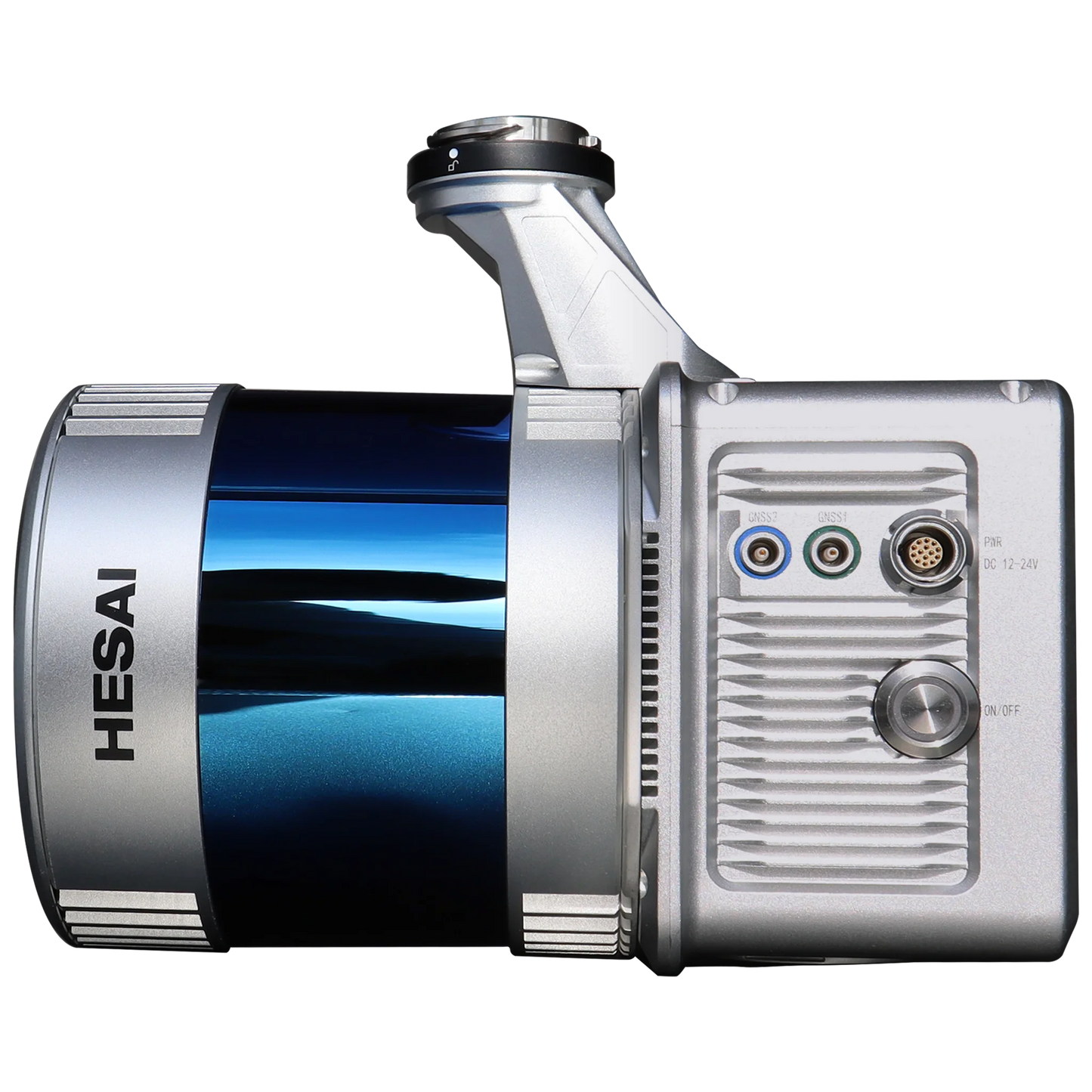
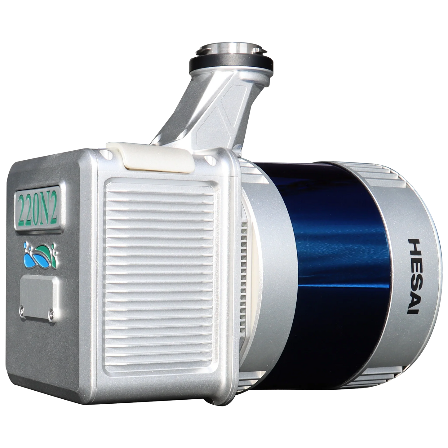
The LiAir 220 is an all-new upgrade based on the LiAir series product LiAir220N. It features an integrated design that combines a 40-line circular scanning LiDAR, an inertial navigation system, and a built-in high-resolution mapping camera. It can be used in various elds, such as powerline inspections, emergency mapping, and forestry resource surveys. The new hardware design enables more ecient large-scale 3D laser data collection.
Features
Highly Integrated
Design Simplifies equipment operation with indicator lights, making it more user-friendly. The system uses a pluggable TF card for storage and adopts an engineering data storage mode, allowing for one-time copying of laser and camera data and one-click processing.
Mapping Camera with Ultra-HD Quality
The system includes a built-in 26MP high-resolution mapping camera and reserves an external camera interface, supporting multiple camera types, such as infrared cameras, to meet various mapping product requirements.
Supports LiPlan Flight Assistant
Enables operation status monitoring, device parameter configuration, and real-time 3D point cloud display. The new interface design offers a more user-friendly flight operation experience.
What's in the box?
- LiAir 220+ Camera+ LiGeoreference
Specs
System Parameters
- Detection Range: 200 m @ 10% reflectivity
- Accuracy (Vertical): ±5cm
- Recommended Working Altitude: 150m
- Typical Flight Speed: 5-10m/s
- Weight: 2.1kg
- Internal Storage: 256GB TF card
- Voltage: 12~24V
- Power Consumption: 24W
- Working Temperature: -20~50°C
- Storage temperature: -30~60°C
- Communication: WIFI
LiDAR Sensor Technical Parameters
- Wavelength: 905nm
- Channels: 40
- Point Rate: 720,000 pts/s (Single Return) / 1,440,000 pts/s (Dual Return)
- FOV: 360° (Horizontal) × 40° (Vertical)
- Ranging accuracy: ±2cm
- Returns 2
Inertial Navigation System
- GNSS: GPS, GLONASS, Galileo, BD
- Azimuth Accuracy: 0.038°
- Attitude Accuracy: 0.008°
- IMU Data Frequency: 200HZ
Camera
- Pixels: 26MP
- Image Size: 6252x4168
- Focal Length: 16mm/24mm equivalent
Software
- Control: LiPlan
- Pre-Processing: LiGeoreference
- Post-Processing: LiDAR360/LiPowerline(Optional)
Please note, prices are susceptible to variations. The sales team at RMUS Canada can be contacted through email sales@rmus.ca or you can call us (416) 303-3575.
Share


Why RMUS Canada
-
- Gold Tier DJI Enterprise Dealer
- DJI Certified Maintenance and Service Provider
- DJI Dock Certified
- RMUS Hub online training center
-
- Certified Training instructors - former Public Safety RPAS operators
- Emergency Equipment Loaner Program
- Trade in credits available
RMUS Canada Resources
-
Sourcewell
RMUS has an existing contract with Sourcewell, a government agency that helps to make the buying process easier and faster.
-
Sourcewell combines the purchasing power of multiple agencies into one cooperative group that helps to streamline the procurement process for governmental agencies such as Public Safety and Educational agencies.
-
Consult our sales team to learn more about Sourcewell and how to use it to its fullest power.
For more information visit: Sourcewell


